
Torres Strait Regional Authority Vegetation Mapping and Biodiversity Management Project
2016
3D Environmental produced vegetation and regional ecosystem mapping for the all inhabited and uninhabited islands throughout the Torres Strait on behalf of the Australian and Queensland Governments. This work was incorporated directly into the Queensland regional ecosystem mapping database for regulation under the VM Act. As an adjunct, Biodiversity Management Profiles were prepared for 14 selected islands to guide traditional ranger management programs.
Recent Projects
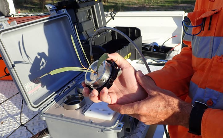
A GDE characterisation study including field investigation, isotopic sampling, and plant…
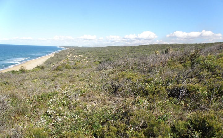
3D Environmental completed a geology and landform assessment over a…

3D Environmental completed ecological fire management profiles for 14 inhabited…